Plan
Draw and edit routes directly on the map, then read the elevation profile to understand the ground ahead. Turn a line on a map into a usable plan — a summit day, an approach, a tramp, a search area or a day on the water.
41°S · 174°E · Aotearoa New Zealand
Quasar brings New Zealand mapping, terrain and navigation into one platform — built for people who actually go into the hills and out on the water.
Plan · Navigate · Operate
01 / The map
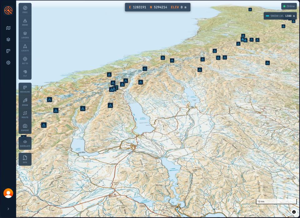
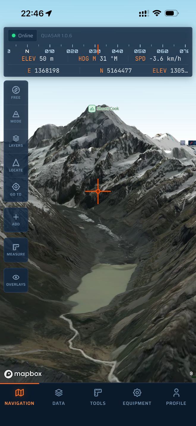
Detailed New Zealand mapping and terrain, with the layers you need to read the ground before you're standing on it. Switch layers to build a clearer picture of what's around you.
LINZ Topo mapping — contours, tracks, huts and terrain detail.
High-resolution imagery for ground truth where the map runs thin.
Marine information for the coast, the harbour and open water.
High-resolution terrain data reveals the true shape of the land.
02 / The workflow
The product's own vocabulary, and the spine of how it works — from the planning table to the field.
Draw and edit routes directly on the map, then read the elevation profile to understand the ground ahead. Turn a line on a map into a usable plan — a summit day, an approach, a tramp, a search area or a day on the water.
Waypoints with icons that mean something — camps, huts, water, hazards, anchorages, dive sites, junctions. Bearings, range rings, distance and terrain awareness while you're moving.
Good decisions involve more than knowing where you are. Organise equipment and loadouts alongside your navigation, so you're planning the whole mission — not just the route.
03 / Land & water
One platform that doesn't stop at the shoreline.
04 / Aotearoa
Quasar is designed around New Zealand's landscape and national geospatial data. High-resolution terrain from Land Information New Zealand reveals the true shape of the land — alpine ridgelines, braided rivers and complex coastlines.
Where other platforms treat New Zealand as an afterthought bolted onto a global map, Quasar starts here.
05 / One system
Quasar is a single platform across web, tablet and mobile — not three separate products. Plan a mission on the big screen, carry it in your pocket on the tops, review it back on the web. Your maps, routes, waypoints and loadouts stay in sync across every device you sign in on.
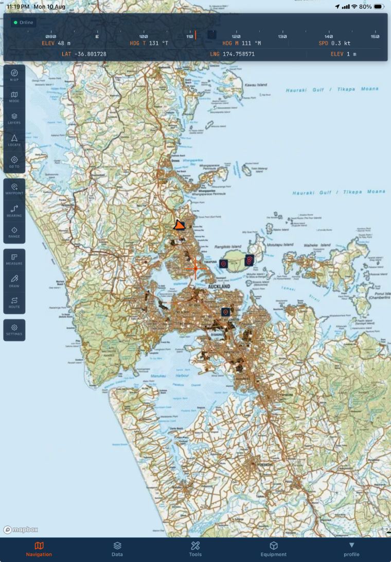 Tablet · full tool set
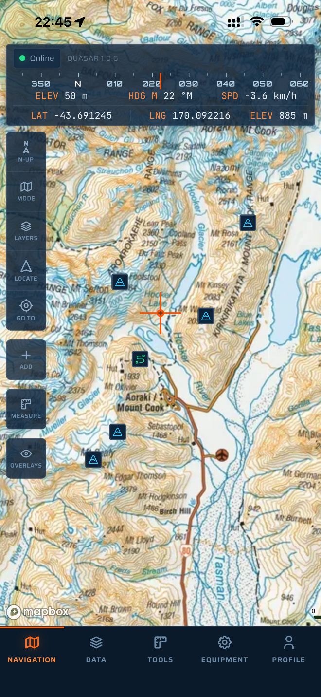 Topographic
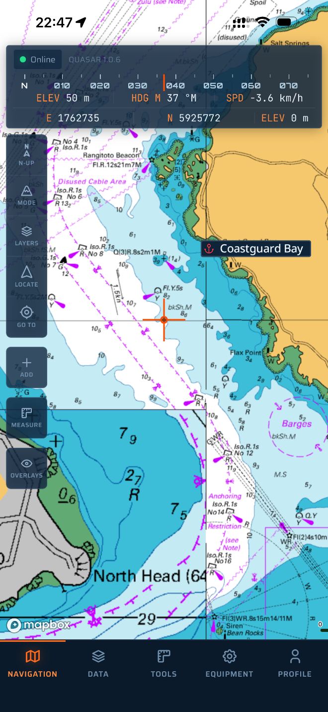 Nautical charts
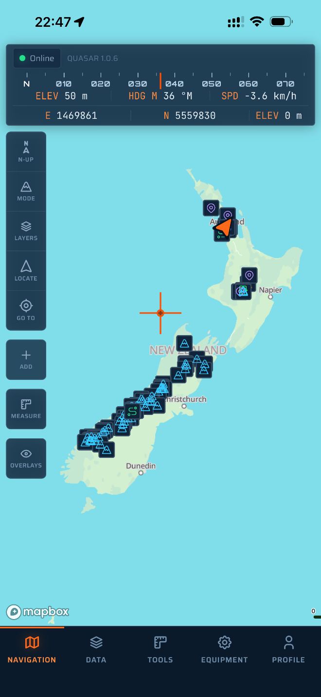 The whole country
▲ Safety
Quasar is a planning and navigation aid — not a substitute for skill, judgement, official charts or proper preparation. Map data may be incomplete, out of date or inaccurate. GPS and devices fail. You are responsible for your own safety decisions.
Quasar is not certified for marine navigation. Carry official charts and the means to navigate without it.